FLH Systemic Safety and GIS Research Project
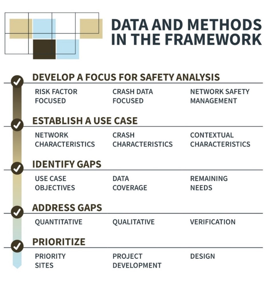
The use of Geographic Information Systems (GIS) to assist with the development of planning documents is well known and practiced. This research effort investigated the use of GIS for safety and traffic assessments, current and best practices, for use in the Federal lands and rural areas. This research report documents the research process, findings, and recommended methods for use in primarily rural and limited data contexts. This consists of a preliminary literature review, data development framework, example case studies illustrating the framework in practice, and series of implementation steps that can help Federal Lands Highway (FLH) deploy the framework and improve safety data on Federally managed roads. The Appendix contains data schemas to help FLH obtain relevant safety data through custom data collection applications, field and desktop reviews, or other data collection initiatives.

