
Images from Bing Maps
Images from Bing Maps may be referenced into a MicroStation model, as an alternate to importing Google Earth images.
- Make sure a coordinate system is attached.
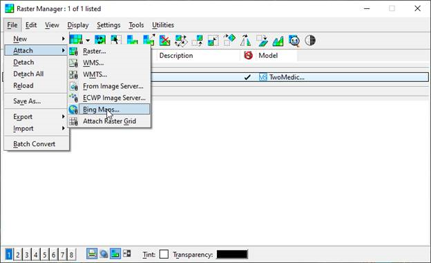
- Open the Raster Manager tool from the Home tab Primary section Attach Tools and from the menu select File Attach Bing Maps...
- Then select Aerial in the Raster Attachment Options Bing Maps Layers.

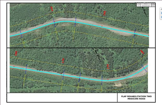
- Cut your plan Sheets normally and the photos will be referenced and clipped into the sheet models.
After printing to PDF reduce the file size of the PDF.
Last updated: Thursday, May 12, 2022