
Geographic Coordinate Systems
Sharing a common coordinate allows DGN files to correctly reference each other. In order to have interoperability with other files, such as aerial photos, GIS files and other geo-referenced files, there must be a geographically defined coordinate system. Having a known coordinate systems allows translation between source (i.e. aerial photo) and destination files (i.e. DGN horizontal alignment). Using MicroStation tools, DGN files can be assigned a known or custom Geographic Coordinate System (GeoCS or GCS). There are many coordinate systems available to choose from.
NOTE: Consult the Survey and Mapping office before using GeoCS tools. They have intimate knowledge of coordinate systems and can assist in identifying the proper GeoCS.
Select Geographic Coordinate System
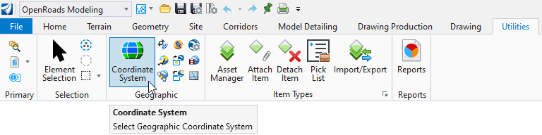
From MicroStation/ORD go to either the Drawing or OpenRoads Modeling workflows, Utilities tab, Geographic area, and select the globe icon to Select Geographic Coordinate System.
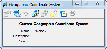
The Geographic Coordinate System menu appears. Note the dialog below shows that a GeoCS has not been assigned. There are several methods to select a GeoCS. The following three are described below:
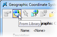
From Library
The From Library method involves choosing a GeoCS from a large library. Consult the Survey and Mapping office to identify the proper GeoCS.
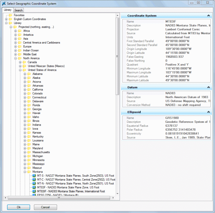
Below is an example of GeoCS list for the state of Montana. Generally, systems used will be from the Library > Projected (northing, easting -) > North America > United States of America > State.
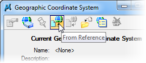
From Reference
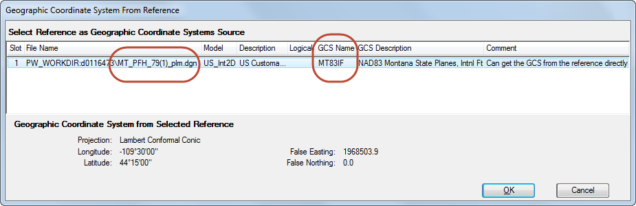
The From Reference method is the easiest and the preferred method. This method allows the inheritance of a GeoCS from an attached reference file that has a GeoCS defined. The preferred source file is the PLM file produced by the Survey and Mapping Department. Inquire with Survey and Mapping to asses if a GeoCS has been assigned.
Next Select the reference file to inherit the GeoCS from. Then Select OK. Note the GeoCS has been assigned to the project PLM file.
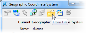
From File
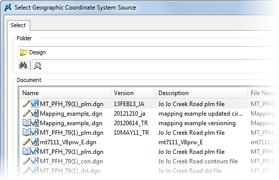
The From File method functions much like the From Reference method. Using this method requires selecting a a file using a standard select file menu. As a best practice use the project Survey file.
Select the appropriate file. Then Select Open. Inquire with Survey and Mapping to assess if a GeoCS has been assigned.
Verification
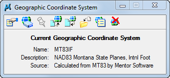
Once a GeoCS has been selected the Geographic Coordinate System menu should be populated and appear similar to the dialog below.
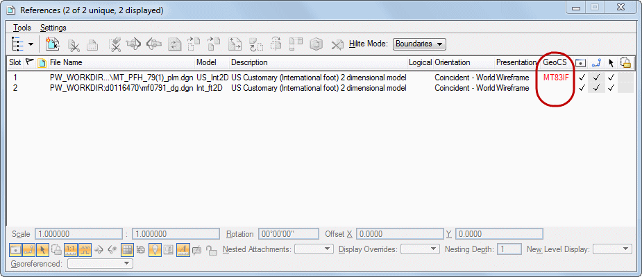
The Reference menu will show the GeoCS name if assigned. Note. if the GeoC column is not listed, Right click on a column heading and add it.
Last updated: Wednesday, March 20, 2024