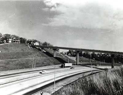
Tennessee - I-240 and U.S. Route 72 Interchange in Memphis.
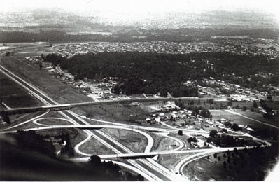
Tennessee- Primary Route F-002 interchanging with I-24 near Nashville, Davidson County.
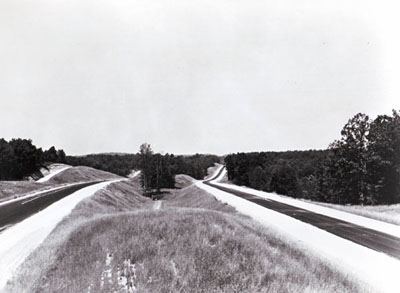
Tennessee - I-40, Benton County, approximately 4 miles west of Tennessee River.
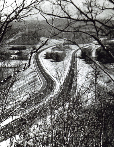
Tennessee - I-75 north of Hamilton Bradley County line.
Tennessee _ I-75 north of Hamilton-Bradley County line.
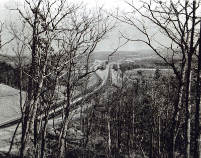
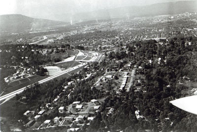
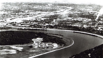
Tennessee -I-24 development through Missionary Ridge and urban fringe of Chattanooga.
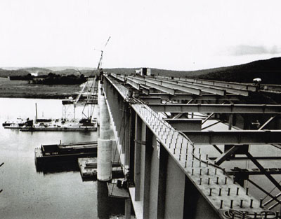
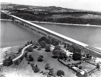
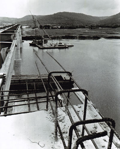
Tennessee- Bridge across Tennessee River on I-24, Marion County near Nickajack Dam.
Tennessee- Bridge across Tennessee River on I-24, Marion County near Nickajack Dam.
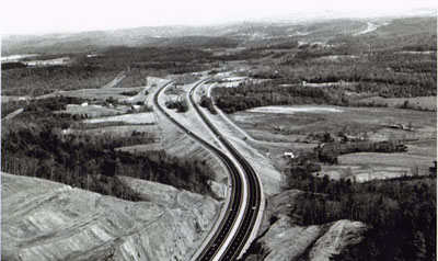
Tennessee Interstate Route 40 descends the western slope of the Cumberland Plateau in Tennessee midway between Nashville and Knoxville. Note the "split-level" independent roadway design, fitted to the rough topography,, in the distance.
The dignity of this one-half-mile long bridge carrying Interstate route 40 across the French Broad River near Dandridge, Tenn., is in keeping with its scenic setting.
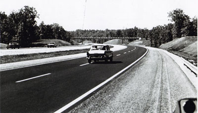
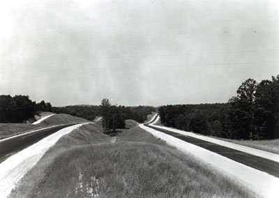
1966 Shoulder construction and striping on I-40 east of Natchez Trace State Park, Henderson County
Tennessee I-75 north Hamilton-Bradley County line.
Tennessee - Bridge across Tennessee River on I-24, Marion County near Nickajack Dam.
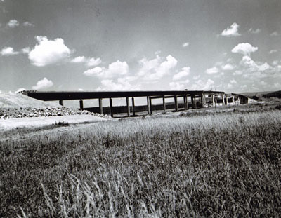
Tennessee - Federal-aid Highway Section Slope Treatment - I-24 through Missionary Ridge in Chattanooga.
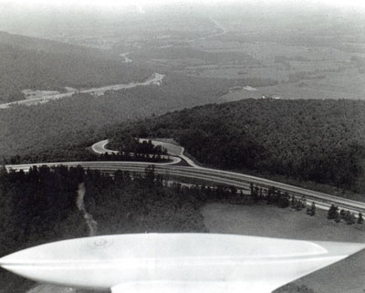
Tennessee- Federal-aid Highway Section- I-24 and Rest Area Site Monteagle Mountain just west of U.S. Route 64 Interchange, Grundy County.
Tennessee- Federal-aid Highway Section- I-24 and Rest Area Site Monteagle Mountain just west of U.S. Route 64 Interchange, Grundy County.
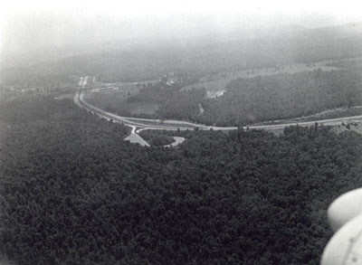
Tennessee- Interstate Route 24 segment along Moccasin Bend on Tennessee River at Chattanooga just prior to opening to traffic in late 1966.
Tennessee- Interstate Route 24 segment along Moccasin Bend on Tennessee River at Chattanooga just prior to opening to traffic in late 1966.
Tennessee - 1966 Shoulder construction and striping on I-40 east of Natchez Trace State Park, Henderson County.